 EMODnet Product Catalogue
Contact for the resource
MACHU project
Type of resources
Topics
Keywords
Contact for the resource
Provided by
Years
Formats
From
1
-
1
/
1
-
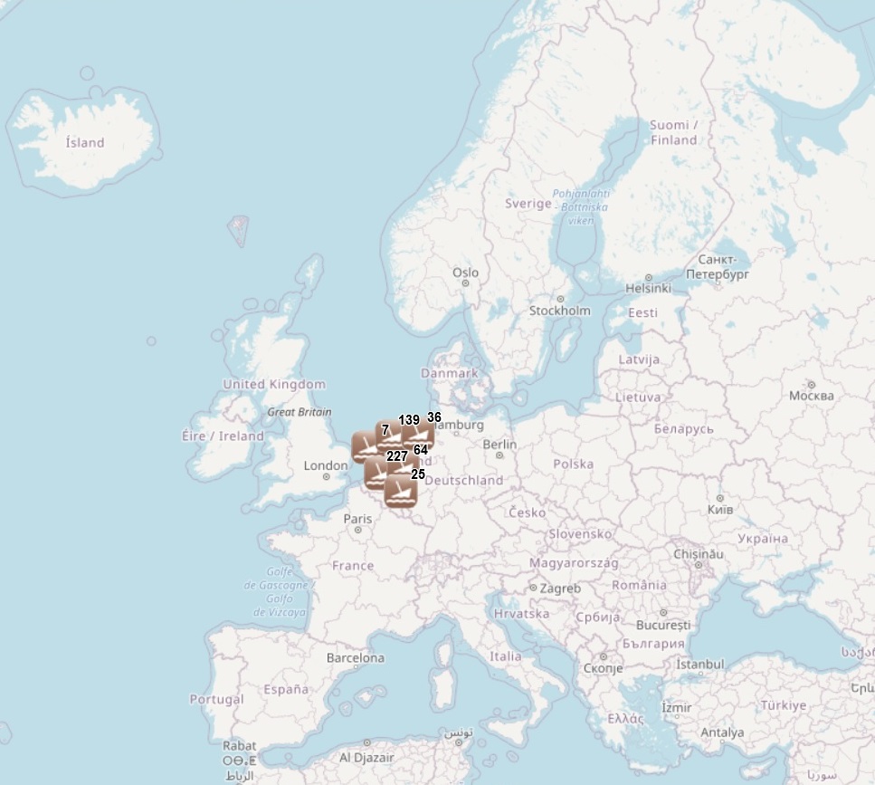
The dataset has been developped under the MACHU EU project, involving seven EU MS (BE, DE, NL, PL, PT, UK, SE). The MACHU GIS database provides information about wrecks, sites and objects underwater. MACHU is an applications on Underwater Cultural Heritage providing historic and archaeological information. MACHU is not intended to give exact positions of wrecks an site, in the aim of ensuring their protection.